

Aerial Mapping Services
-

Forestry
High-resolution drone mapping delivers accurate stand counts, streamlines ETS reporting, identifies reforestation areas, and generates color-coded elevation models. These maps can be effortlessly integrated into Avenza, enhancing operator safety and on-site awareness. Users can also annotate issues and reports directly onto the maps for team-wide visibility and collaboration.
-
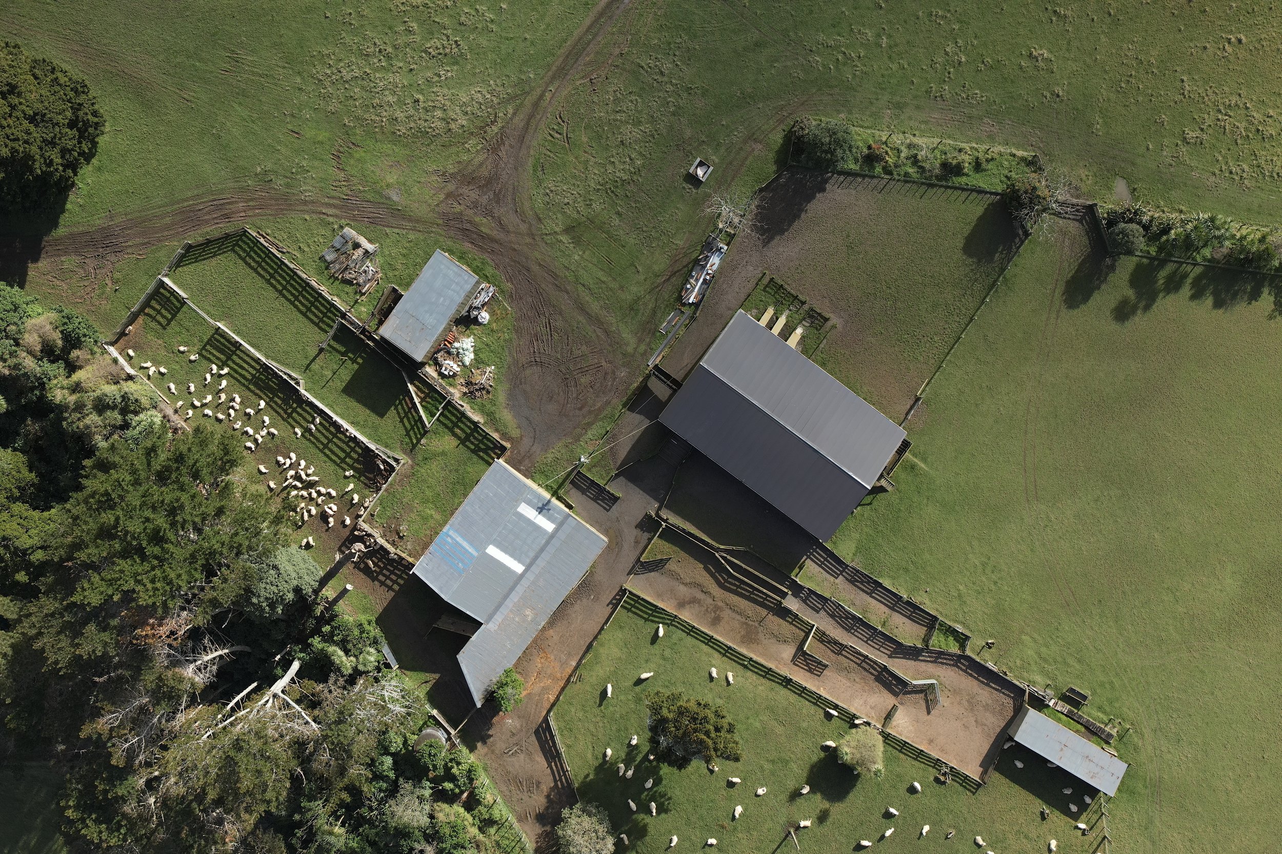
Farming
High-resolution farm maps offer precise measurements of elevations, paddock sizes, identify underutilized areas and conducting stand counts. Print onto whiteboards or upload to Avenza, facilitating real-time navigation and seamless information sharing with your team, enhancing overall farm management.
-

Civil
From 3D modelling for engineers and designers to stockpile volume estimates for quarries, aerial mapping delivers comprehensive insights for a wide range of industries.
-

Realestate
Introduce properties for sale with the cutting-edge capability of aerial mapping. Potential buyers can explore high-resolution maps and 3D models of farms, forests, and quarries. They can access detailed reports, including stand counts, paddock conditions, elevation models, and stockpile/cut-and-fill reports, providing them with a comprehensive understanding of the property's potential and condition.


About.
Agriflight specialises in nationwide aerial mapping, offering you invaluable data and comprehensive reports. We prioritise safety and strictly adhere to CAA guidelines.
With credentials including an RPAS pilot certificate, a New Zealand land surveying certificate, comprehensive insurance coverage, and access to cutting-edge technology, Agriflight stands ready to deliver precise maps, models, and captivating aerial footage.
Please get in touch to discuss your project.


